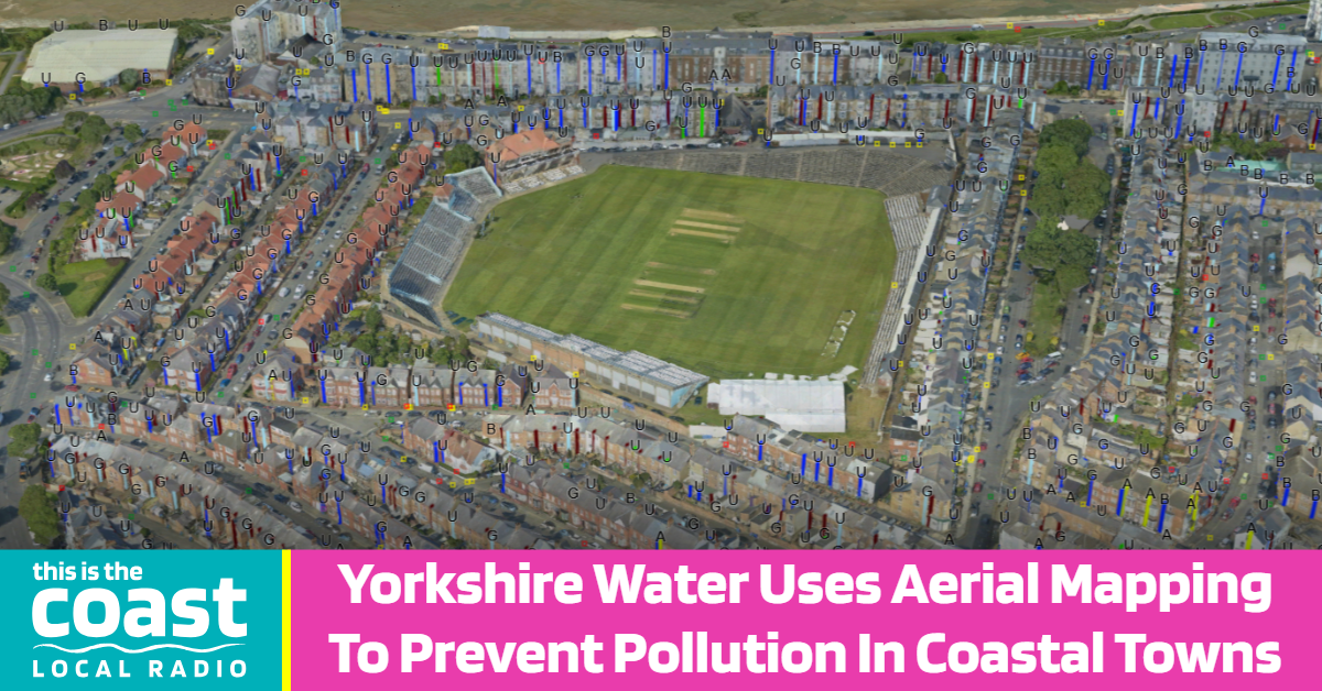
Specially designed camera systems mounted in fixed-wing aircraft were used to capture ultra-high-resolution aerial imagery from the sky. This imagery was then transformed into detailed two-dimensional and three-dimensional models.
By incorporating artificial intelligence technology, the models enabled the rapid identification of wastewater features such as manholes and drainage entry points across the area. The system was also deployed to spot potential misconnected pipework and possible pollution issues that could affect the quality of local water courses.
After surveying more than eighty square kilometres across the East Yorkshire coast and inland areas, the three-dimensional mapping revealed over half a million previously unmapped points connected to the sewer network, including gullies and downpipes.
The survey also uncovered an almost four-thousand per cent increase in contact points to the sewer network that were previously undetected following the transfer of private sewers into the utility's ownership. Furthermore, over thirty-two thousand potential misconnections were identified, with two thousand eight hundred connecting directly to watercourses, alongside one hundred and seventy-eight potential rural pollution issues.
We’ve mapped thousands of previously undetected assets across the East coast and inland bathing water sites and found over 2,800 potential misconnections on both domestic households, our wastewater network and other pollution risks such as from agricultural runoff and septic tanks.
This overarching view using APEM’s technology will improve how we manage and maintain the sewer network as well as give us the intelligence required to predict and prevent some pollutions in the future. Plugging this important historical gap will allow Yorkshire Water to confidently plan for the future.