From left to right, Julia Chaffers, Tanya Jones and Shannon Chaffers are all descendants of Phoebe and Edward Weeks, early Black Adirondack pioneers who received land through the Timbuctoo land experiment.
East Tennessee State University professor Eileen Ernenwein examines a 3D model created by LiDAR data, part of a land survey of an area that was once home to Timbuctoo land grantees.
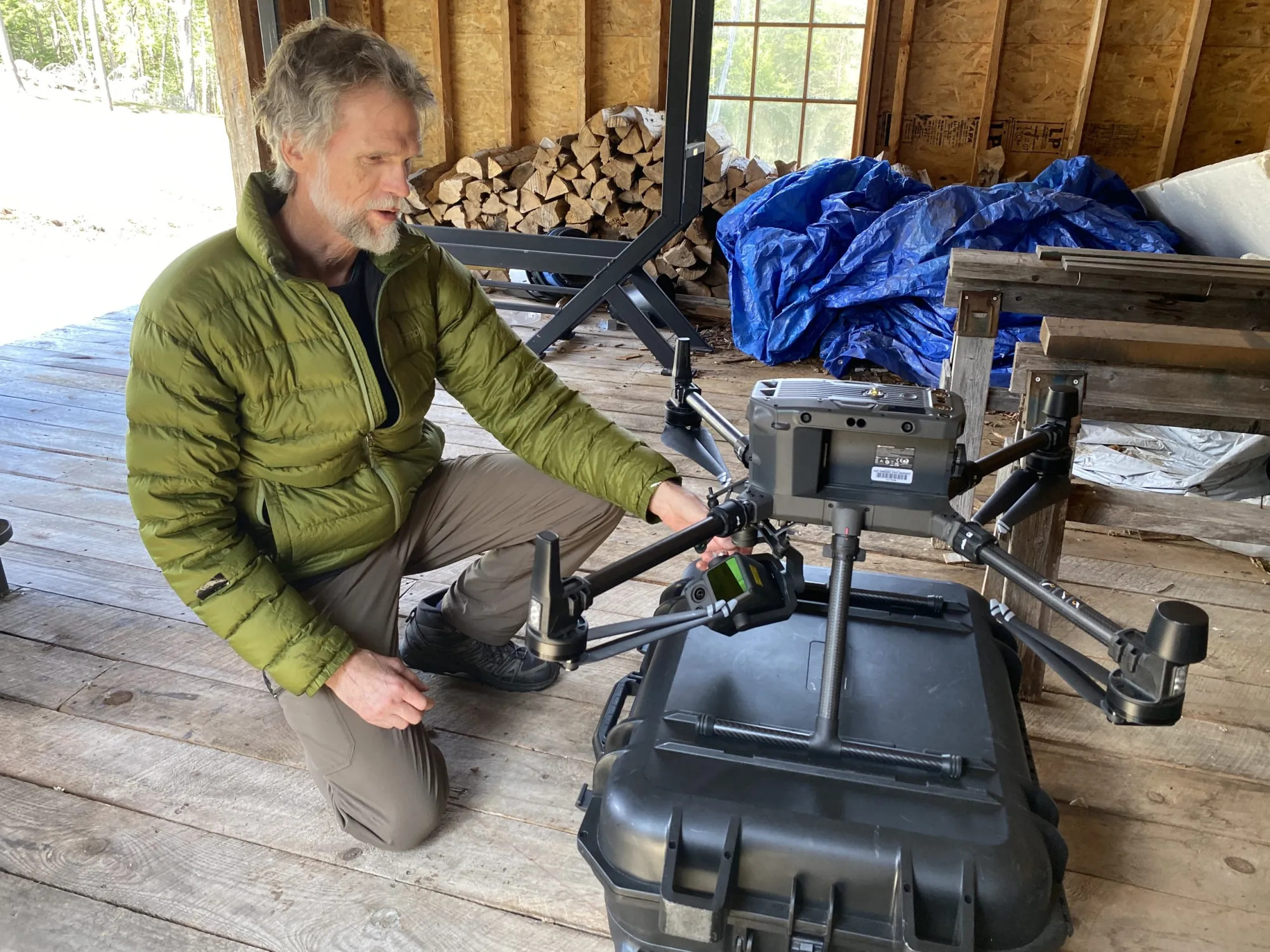
On a recent morning outside of Lake Placid, a team of researchers traded shovels for handheld tablets as they watched a drone lift off from a bright orange landing pad, tilting forward and beginning its programmed flight over a dense stretch of Adirondack forest.
On the ground, Eileen Ernenwein and Steven Jones, geosciences professors from East Tennessee State University, monitored the drone’s flight path. The aircraft, equipped with light detection and ranging, or LiDAR technology, soared about 325 feet overhead.
The aircraft covered about 200 acres of woodland once believed to be part of Timbuctoo, a 19th-century Black settlement founded near Lake Placid by white abolitionist Gerrit Smith. In the mid-1800s, Smith granted parcels of his vast Adirondack property to Black families, hoping land ownership would offer economic independence and, at the time, the right to vote.
But over time, the forest reclaimed much of that landscape. Homes, roads and farm fields faded from history, leaving only fragments in historical maps and in scattered archaeological evidence.