Through its news reporting and analysis, the nonprofit Adirondack Explorer furthers the wise stewardship, public enjoyment for all, community vitality, and lasting protection of the Adirondack park.
Through its news reporting and analysis, the nonprofit Adirondack Explorer furthers the wise stewardship, public enjoyment for all, community vitality, and lasting protection of the Adirondack park.
On a recent morning outside of Lake Placid, a team of researchers traded shovels for handheld tablets as they watched a drone lift off from a bright orange landing pad, tilting forward and beginning its programmed flight over a dense stretch of Adirondack forest.
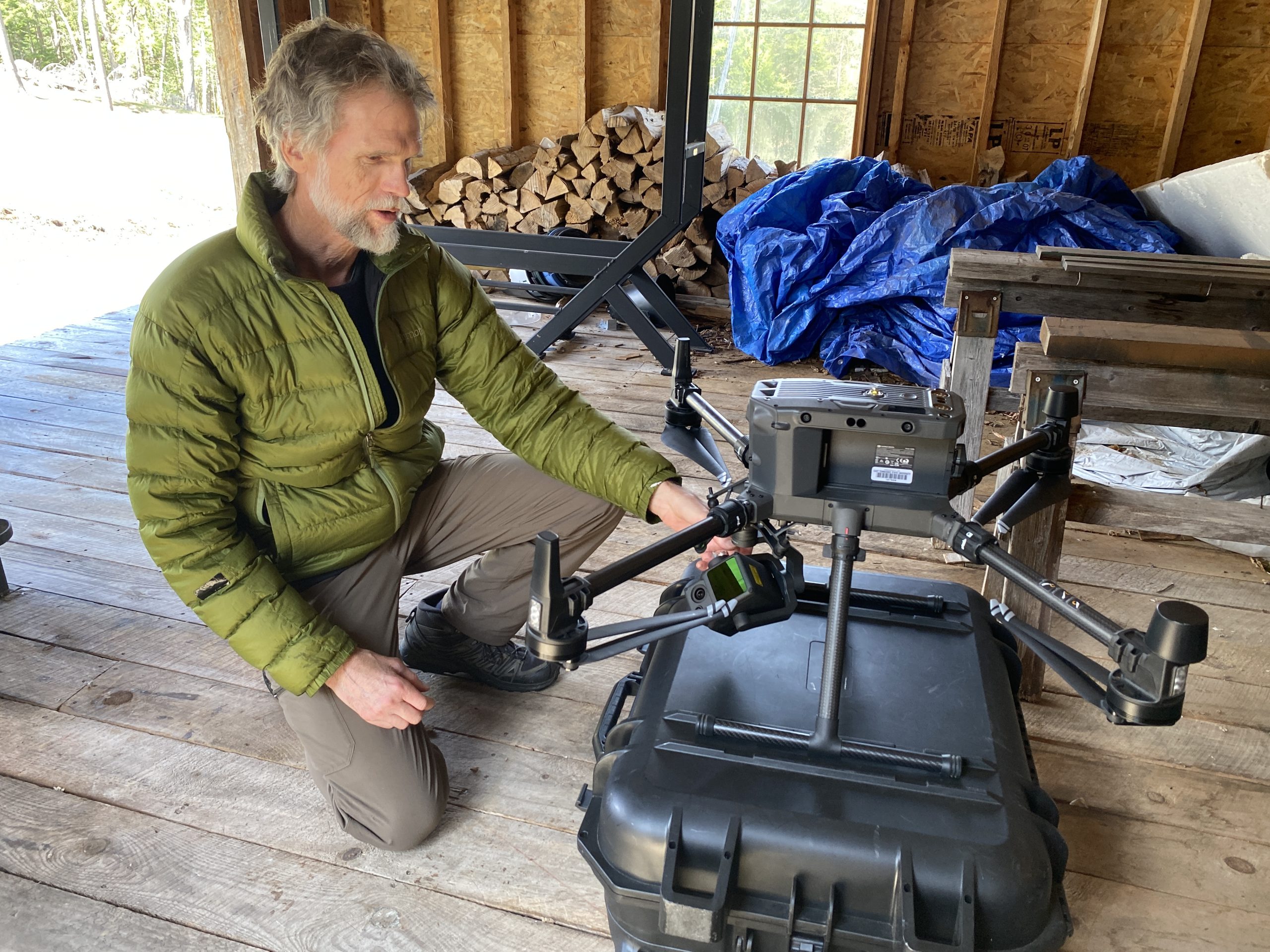
On the ground, Eileen Ernenwein and Steven Jones, geosciences professors from East Tennessee State University, monitored the drone’s flight path. The aircraft, equipped with light detection and ranging, or LiDAR technology, soared about 325 feet overhead.
Keep up with the stories that matter. Google recently introduced a feature allowing you to customize your search results to prioritize content from sources you trust. ADD THE EXPLORER AS A PREFERRED SOURCE
The aircraft covered about 200 acres of woodland once believed to be part of Timbuctoo, a 19th-century Black settlement founded near Lake Placid by white abolitionist Gerrit Smith. In the mid-1800s, Smith granted parcels of his vast Adirondack property to Black families, hoping land ownership would offer economic independence and, at the time, the right to vote.