Featured News

Drone Industry Insights Launches The 9Th Edition Of The Global Drone Survey
Drone Industry Insights (DII), an independent research and intelligence provider for the global drone market, has opened the 9th edition of its Global Drone Survey. The survey is among the largest annual data-collection ...
Click to read full article

Howard Volunteer Fire Department To Conduct Drone Mapping Project
The drone surveys will help create detailed maps that can be used by first responders during emergencies, providing valuable information about access routes, terrain, structures, and other features that may impact respon...
Click to read full article

Zenatech Completes 23Rd Acquisition And Expands Colorado Drone As A Service Operations
ZenaTech announced that it has completed its 23rd acquisition and second land survey engineering firm acquisition in Colorado with the purchase of High Prairie Survey Company. The transaction expands the company’s Drone ...
Click to read full article

From Surveillance To Strike 3 Drone Stocks In A Rs 19 000 Crore Defence Procurement Cycle
Drones have become central to modern warfare. From surveillance and intelligence gathering to precision strikes and electronic warfare, their role has expanded across conflicts in Ukraine, West Asia, and closer home....
Click to read full article

Mumbai X27 S Ideaforge Is Exploring Uav To Uav Deployment Through Project Ale Air Launched
The project demonstrates UAV-to-UAV aerial deployment, where one drone carries, positions, and deploys another drone mid-air, extending the mission beyond the reach of any single platform....
Click to read full article
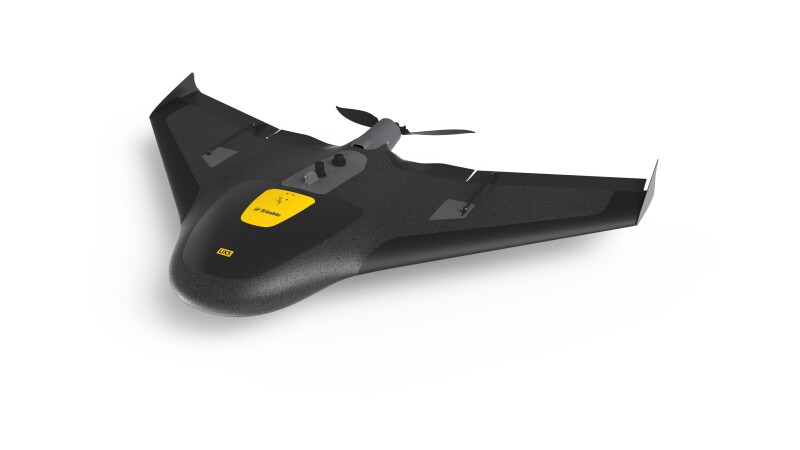
A Personal Drone Journey
On May 26, 2013, I saw my first drone. It was not the traditional multicopter that a lot of people were beginning to use for photography and having fun at the beach or in the backyard. Instead, this drone was a fixed-win...
Click to read full article
Kishan Reddy Directs Fast Tracking Of Mining And Exploration Projects
He chaired review meetings in Bengaluru with senior officials of the Geological Survey of India, the National Institute of Rock Mechanics, the Indian Bureau of Mines and the Remote Sensing and Aerial Survey division and ...
Click to read full article

From Labs To Startups How Indian Universities Are Integrating Practical Skills Adaptabilit
When Sourya Choudhury, co-founder and chief technology officer of Apollyon Dynamics, was building his first kamikaze drone, he was also getting graded for it. BITS Pilani has a system that allows students to register ind...
Click to read full article

Genesys Bags Ganga Survey Project From Nmcg For Digital Mapping
Geospatial technology firm Genesys International has secured a project from the National Mission for Clean Ganga to conduct aerial LiDAR surveys and geotagged videography of the River Ganga drainage system across four st...
Click to read full article

Gaussian Splatting Meets Photogrammetry Simactive Integrates New Capability In Correlator3
Gaussian splatting has quickly become one of the most talked-about developments in 3D reconstruction. Known for its ability to create highly realistic, smooth-rendered scenes, the technique has sparked a central question...
Click to read full article